
Unsettled work week ahead
Sunday, April 29, 2018






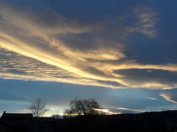
A complicated storm currently bringing precipitation to the Pacific Northwest will affect the weather in Steamboat Springs through the upcoming work week. Warm and breezy southwest winds ahead of the storm has brought dry weather and some clouds to our region today. As the storm travels into the Great Basin tonight, ejecting energy will bring some cooling and the possibility of showers by Monday afternoon and evening in continued breezy southwest flow.
The storm then elongates to the southwest as additional Pacific energy interacts with the storm, reaching southern Nevada on Tuesday. More incoming Pacific energy then moves the bulk of the storm across the Great Basin and over our area by later Wednesday and Thursday, eventually bringing beneficial rains to the Yampa Valley and accumulating snows above around 9000′ or so.
As suggested in the last forecast, the forecast storm is still evolving, lending more uncertainty than usual to the timing of specific features. Right now, Tuesday is advertised as cooler and showery, with possible thunderstorms, as moisture and energy in southwest flow is carried over our area along a somewhat stationary front.
It appears that the front is nudged northward on Wednesday, leading to a slight decrease in the showers as the best activity follows the front northward. But more Pacific energy dropping southward from the Gulf of Alaska moves the storm eastward and turns the stationary front into a cool front as it moves southward.
Precipitation should increase as the storm nears and the cool front moves southward late Wednesday, with accumulating snows above around 9000′ and snowflakes even possible in the Yampa Valley. Mountain top flow turns to our favorable northwest direction by Thursday, keeping higher elevations snow showers and low elevation rain showers going through a cool Thursday.
Though some energy from this storm is left behind near Baja, this is far enough south that its eastward progress along the Mexican border through the weekend will not affect our weather. So we should see significant warming and drying starting as early as Friday and lasting through the weekend, though there is a possibility of some afternoon showers.