
Warm and breezy ahead of Friday cold front
Thursday, September 19, 2019






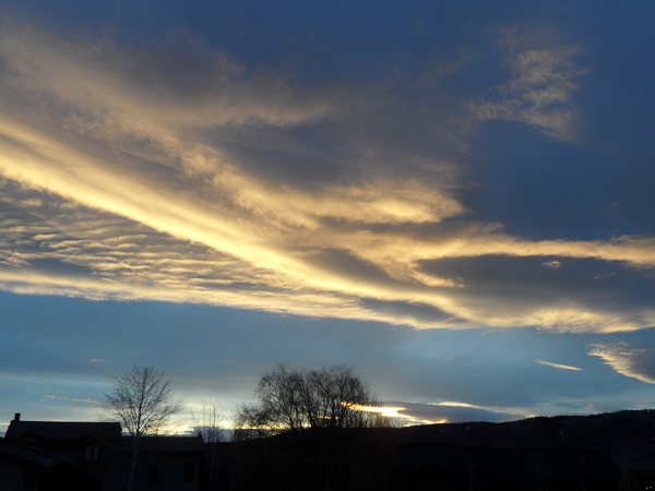
A sunny, warm and breezy afternoon is occurring over Steamboat Springs this Thursday. The winds are in advance of a large storm currently traveling across the Great Basin that will bring a mostly dry cold front through our area later Friday, along with a trailing surge of cool air on Saturday. Warm and dry are in store for Sunday and at least most of Monday before another storm approaches.
Temperatures are currently running seven degrees above our average of 70 F as warm air is drawn northward in the south-southwesterly flow ahead of the Great Basin storm. As the storm moves northeastward and closer to our area, we may see some showers develop around midnight as some energy and moisture eject out ahead of it.
Though Friday morning may start cloudy and relatively warm, with low temperatures five to ten degrees above our average of 34 F, there is some dry air forecast out ahead of the storm that may make Friday turn sunnier for a time before the cold air starts seeping into our area sometime Friday afternoon or evening, along with increasing clouds.
As was the case with the storm last Wednesday, the best moisture is ahead of the coldest air, so once again we may see some non-accumulating snows, this time above 9000′ or so, and a cold below-average-by-several-degrees Saturday morning.
A trailing wave of reinforcing cool air is forecast to arrive later Saturday, keeping high temperatures a bit below average, with another cold night forecast, requiring outdoor plants to be protected this weekend for those wishing to prolong our shorter-than-average growing season this year.
Sunday and at least half of Monday should be brilliant sunny days with high temperatures recovering to or several degrees above average, with the Autumnal Equinox, which is when the sun crosses the Equator in the fall, occurring at 1:50 am MDT early Monday morning.
Meanwhile, another large and cold storm, currently near the Gulf of Alaska, is forecast to move southeastward and cross the Pacific Northwest coast on Sunday. There is large disagreement among the weather forecast models as to the track of the storm, with the European ECMWF forming an eddy to our southwest that moves slowly eastward and then northeastward through the midweek period, while the American GFS keeps the storm moving quickly through our area earlier in the period. The faster solution would bring another cold front through our area as early as Monday night, while the slower solution advertises a more unsettled weather pattern later in the work week, perhaps most noticeable to our south.