

Showers possible for most of the work week
Sunday, May 16, 2021






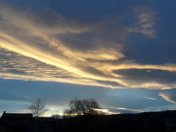
Mostly sunny skies have returned to the Steamboat Springs area this Sunday afternoon with temperatures around seventy after a few showers passed near our area around noon. A couple of slow-moving storms will increase shower chances through midweek and again around Friday before warmer and drier weather is advertised for next weekend.
An eddy cut off from the jet stream is currently spinning over southern Nevada while a powerful storm evolves in the Gulf of Alaska. The Gulf of Alaska storm is expected to mix with cold air sourced from the North Pole over the next few days before making landfall along the West Coast around Tuesday. The storm will force the Nevada eddy towards the Four Corners region on Monday and across southern Colorado on Tuesday before it is deflected northward across eastern Colorado by a developing ridge of high pressure east of the Mississippi River.
We should see increased chances for afternoon and evening showers on Monday and Tuesday as the Nevada eddy approaches our area, and possibly sometime on Wednesday as the eddy moves northward along Colorado’s eastern border. While the likelihood of showers is high, the amount of water reaching the ground is modest, with perhaps a tenth of an inch or two possible each day.
Thursday looks to be the driest day of the work week behind the departing eddy as increasing winds from the southwest bring warm and dry air over our area. While the West Coast storm is expected to move very little through the weekend as the eastern ridge of high pressure expands westward and blocks any forward progress, a wave of energy and moisture ejecting out of the storm is forecast to move over our area on Friday for increased shower chances.
Depending upon the strength of the wave, our winds may turn to be more from the south and incorporate some additional moisture originally from the Gulf of Mexico, which will directly affect how much moisture we see from the showers.
The West Coast storm is expected to grudgingly move to the northeast through the weekend and into the following work week. Our area will see continued breezes from the southwest along with warm and dry air for a very pleasant and summery feeling weekend. Longer range weather forecast models have this weather persisting into and possibly through the next work week.
Stay tuned to my next regularly scheduled weather narrative on Thursday afternoon where I’ll review any precipitation amounts from the showers earlier in the work week and have a better idea on how showery Friday may be.